


CARTAGEO
Imposta la visibilità delle mappe online.

Descrizione
Imposta la visibilità e lo stile della mappa delle mappe online dal servizio Microsoft Bing nel riquadro di visualizzazione corrente.
Note: Assicurarsi che la posizione geografica e il sistema di coordinate siano impostati utilizzando il comando POSGEOGRAFICA.
Opzioni all'interno del comando
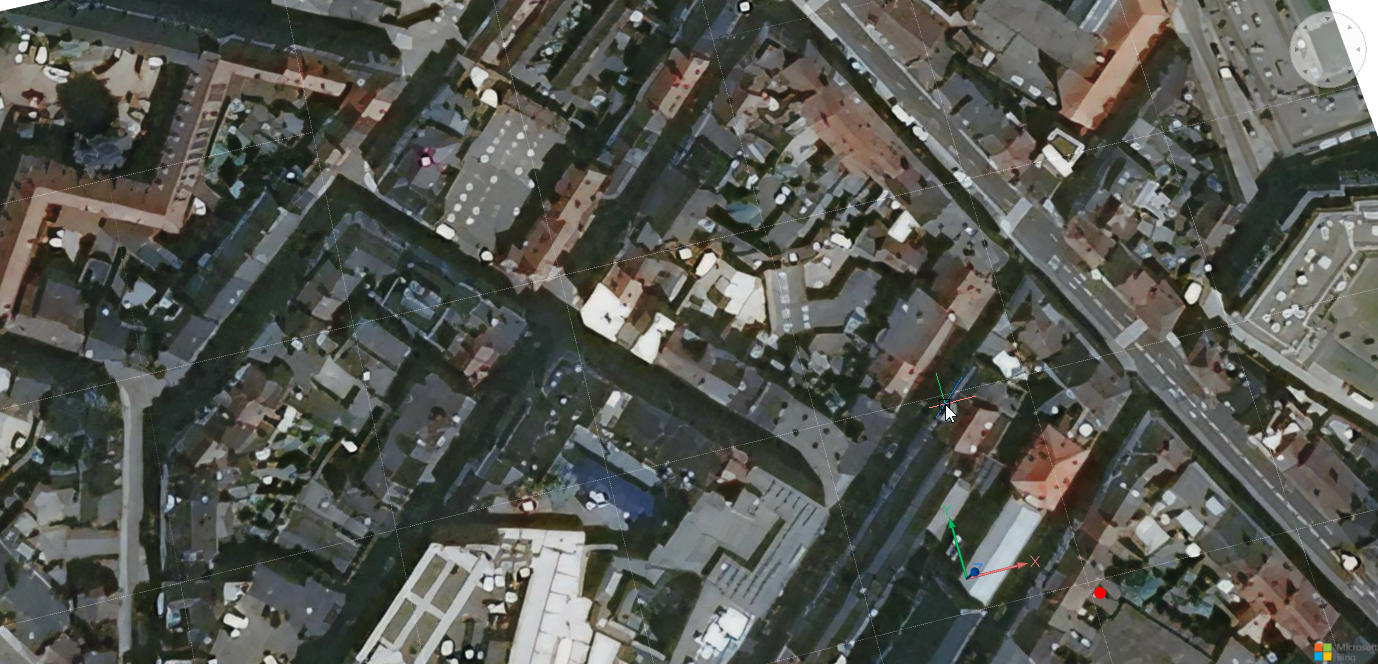
- Aerea
- La mappa viene visualizzata nello stile mappa Aerea.
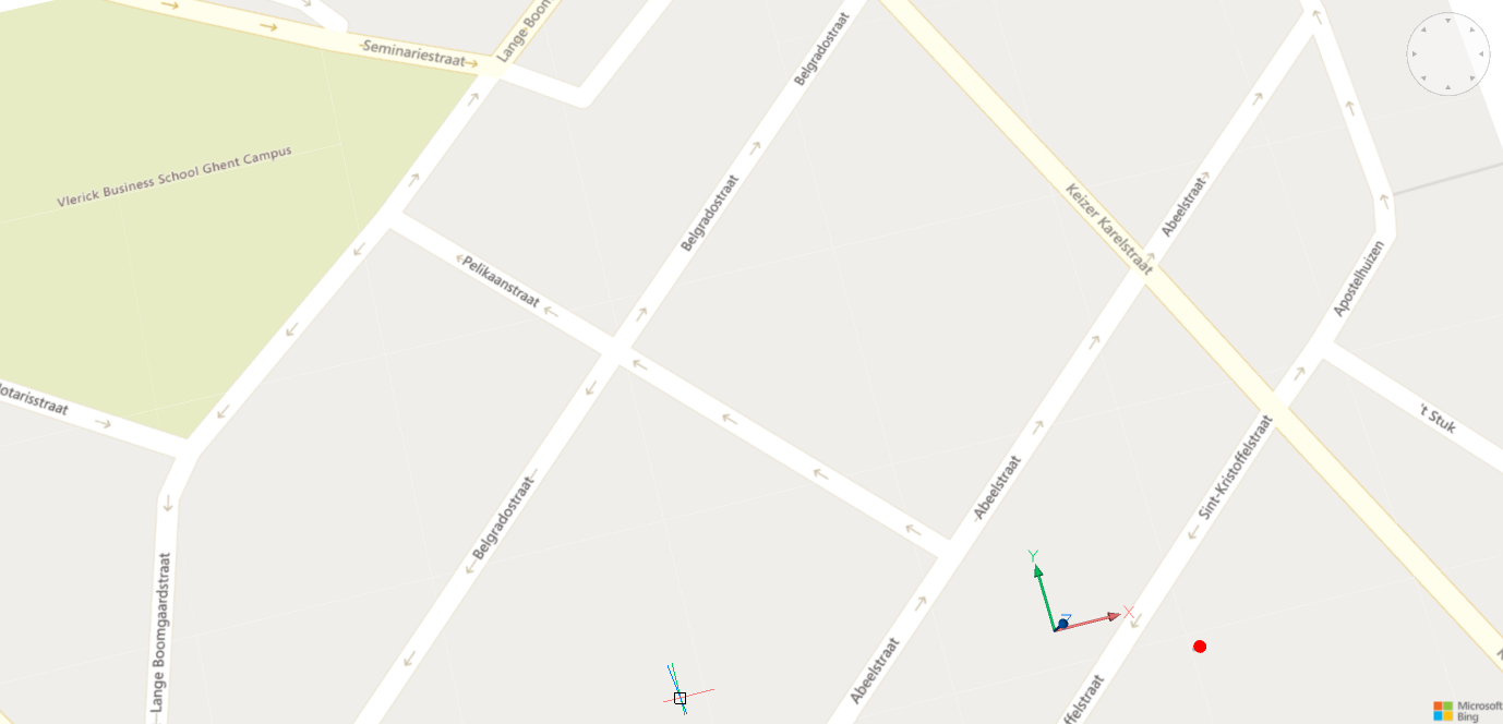
- Stradale
- La mappa viene visualizzata nello stile mappa Stradale.
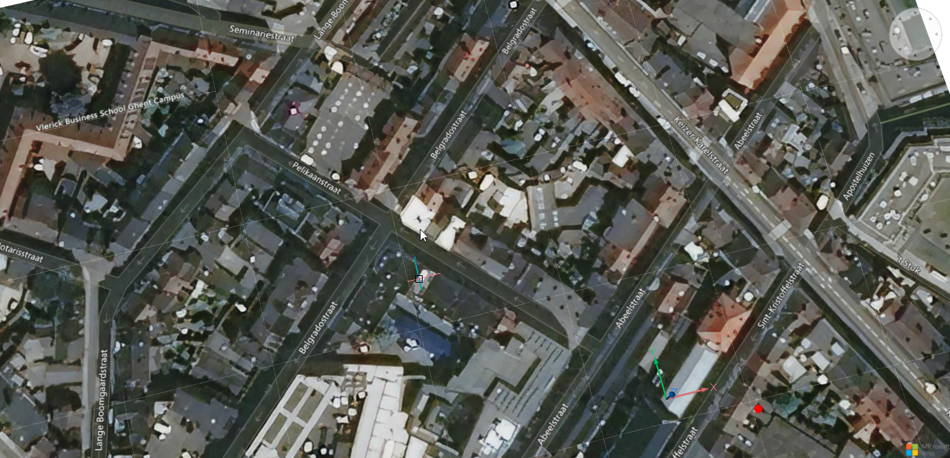
- Ibrida
- La mappa viene visualizzata nello stile di mappa Ibrida, la quale combina lo stile mappa Aerea con Stradale .
- OFF
- Nasconde la mappa geografica.