


IMMCARTAGEO
Crea un'acquisizione di immagini di mappe online.

Descrizione
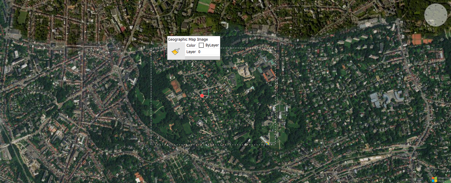
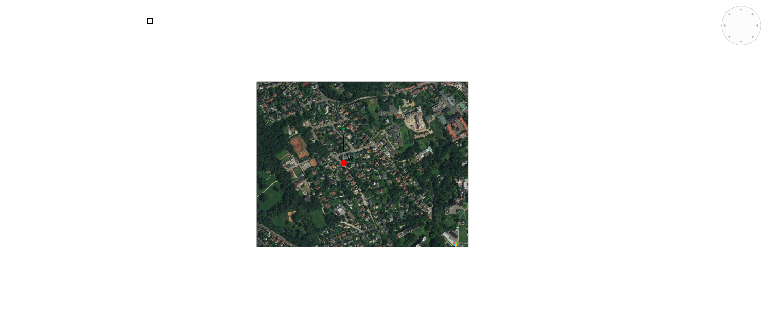
Crea un'acquisizione di immagini rettangolari di una mappa online di Microsoft Bing e la incorpora nel disegno.
Note: È possibile utilizzare i comandi IMMCARTAGEOTIPO, IMMCARTAGEORISOLUZIONE e AGGIORNAIMMCARTAGEO per gestire ulteriormente l'immagine della mappa.
Metodo
Selezionare l'area della mappa di Microsoft Bing di cui si desidera creare un'acquisizione. Viene quindi creata un'immagine incorporata delle mappe online, e sulla mappa viene visualizzato un riquadro che indica l'acquisizione dell'immagine creata.
Note: Prima di creare l'acquisizione di un'immagine cartografica, è necessario eseguire il comando POSGEOGRAFICA per definire e memorizzare una posizione geografica per il disegno corrente ed eseguire il comando CARTAGEO per impostare uno stile di mappe in linea.
È quindi possibile regolare le dimensioni e/o la posizione della cornice dell'immagine della mappa e aggiornare l'immagine della mappa di conseguenza.
Note: Per mantenere visibile solo l'acquisizione dell'immagine della mappa, eseguire nuovamente il comando CARTAGEO e selezionare l'opzione Disattivato.
Note: Il copyright e la filigrana Microsoft vengono aggiunti nell'angolo in basso a destra dell'immagine della mappa.
Opzioni all'interno del comando
- Schermo
- Imposta la finestra corrente come cornice per l'acquisizione dell'immagine delle mappe online.