


POINTCLOUDCOLORMAP command
Colorizes the point cloud.

Icon: 
Description
Colorizes the point cloud based on a range of colors.
Options within the command
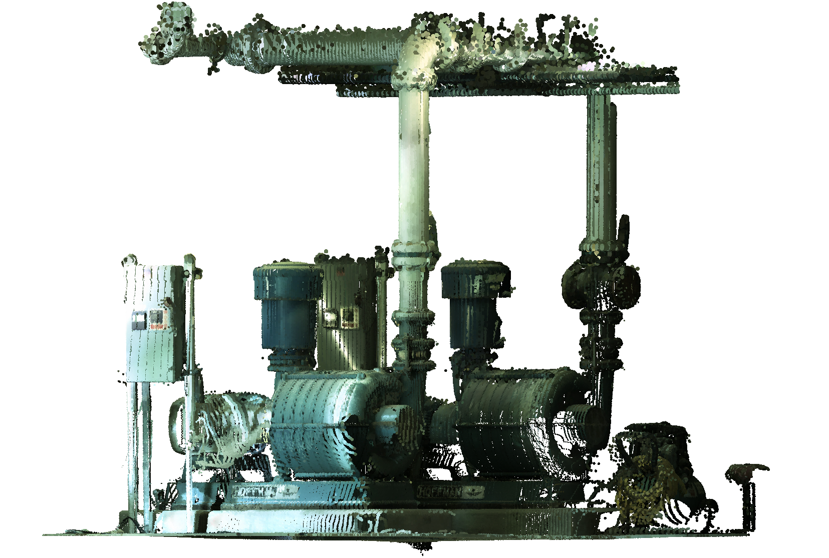
- Scan
- Assigns color based on the color data collected by the scan.
-
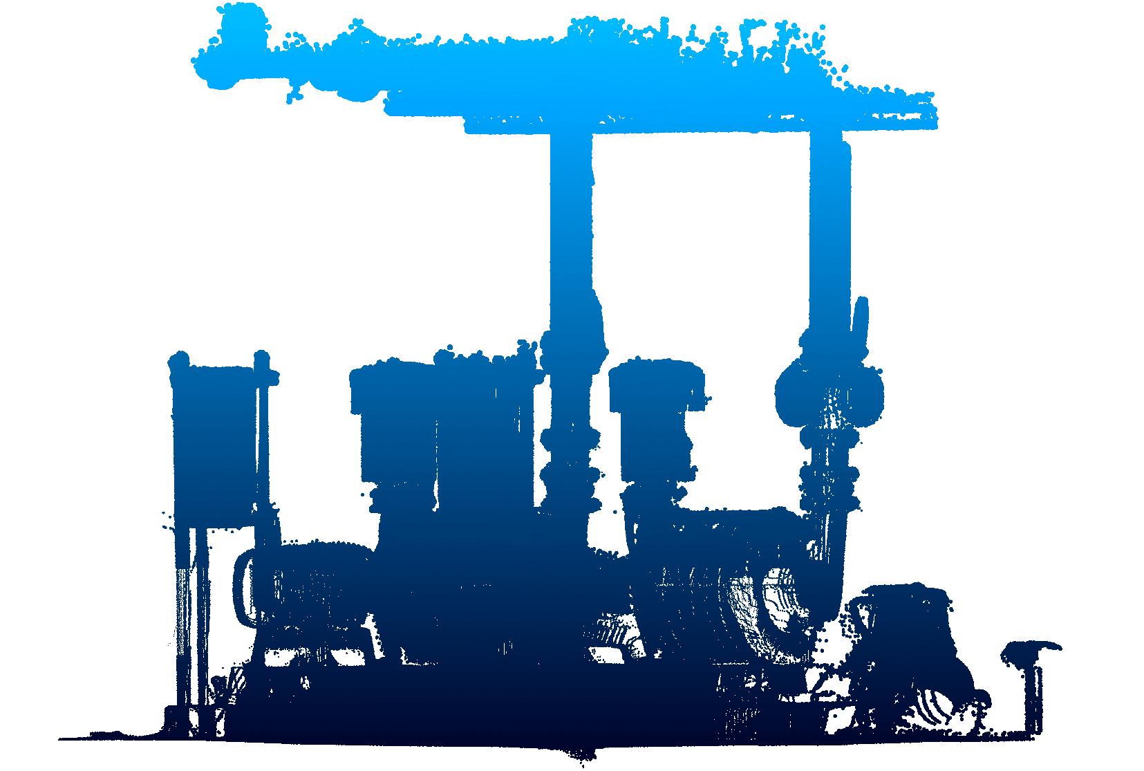
- Elevation
- Assigns color based on the elevation of the points using a specified color map.
-
- Spectrum
- Assigns a range of colors based across the color spectrum.
- Earth
- Assigns a range of colors from light brown to dark brown.
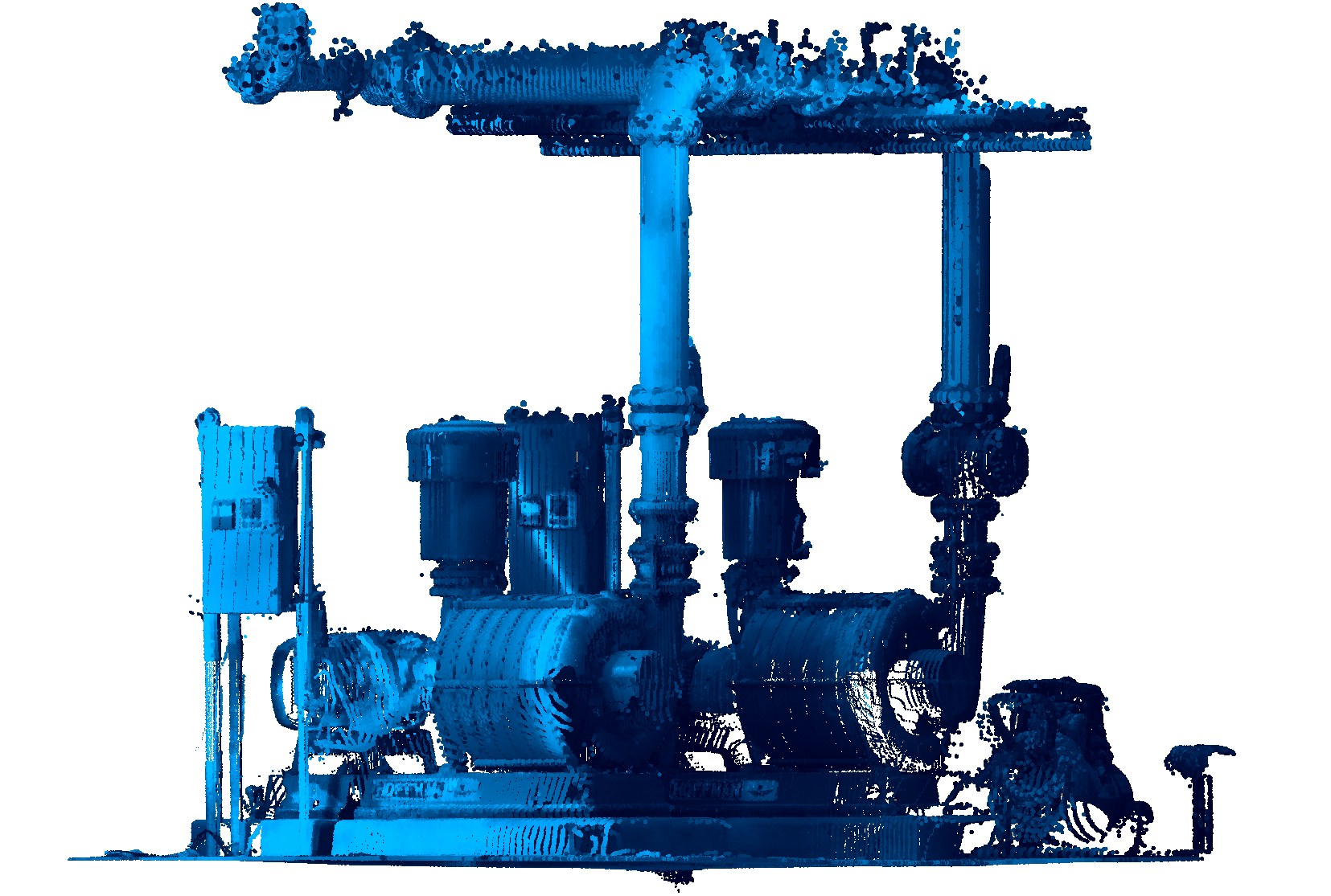
- Hydro
- Assigns a range of colors from light blue to dark blue.
- grAy
- Assigns a range of colors from light gray to dark gray.
- Reds
- Assigns a range of colors from light red to dark red.
- Greens
- Assigns a range of colors from light green to dark green.
- Blues
- Assigns a range of colors from light blue to dark blue.
- Intensity
- Assigns colors according to their intensity value based on the specified color map.
-
- PlaneDeviation
-
The deviation colors points in the point cloud according to their distances to the selected planes.
Note: This option is used to verify how well points fit with given or fitted entities.Note: The colors are influenced by the two tolerance levels: Plane Tolerance OK and Plane Tolerance Warning. They can be found in the Properties Panel . All points that are on a distance less than Plane Tolerance OK from the plane, are colored green. Points that are on a further distance than Plane Tolerance OK, but smaller than Plane Tolerance Warning, are colored orange (on one side of the plane) or light blue (on the other side of the plane). Points that are even further than Plane Tolerance Warning are colored red (on one side) or dark blue (on the other side).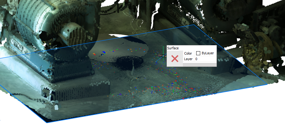 Note: This option works with regions, surfaces and solids.