
GEOMAPA polecenie
Ustawia widoczność map online.

Opis
Wyświetla mapę z usługi map online w ramach bieżącego rysunku.
Ważne:
-
- Bing Maps
- Bing Maps are deprecated and can no longer be used in BricsCAD. Bing Maps can be replaced without an API key (see the GEOMAPKEY command article) as follows:
- bing Aerial is converted to esri Imagery.
- bing Road is converted to open street Map.
- bing Hybrid is converted to esri Hybrid.
-
- Mapy Esri
- The esri Imagery, esri Streets, esri Light, esri Dark, and esri Hybrid maps are available only when an API key is assigned (see the GEOMAPKEY command article).
-
- OpenStreetMaps
- It does not require an API key and is free to use.
Uwaga:
- Make sure the geographical location and coordinate system are set using the GEOGRAPHICLOCATION command.
- The copyright and watermark are added in the lower right corner of the drawing area. The application displays a message while tiles are downloading.
Opcje w ramach polecenia
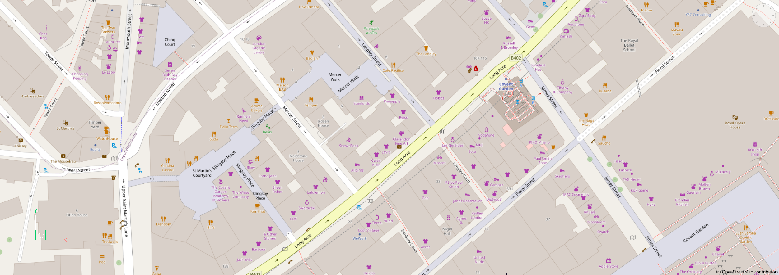
- Otwórz mapę ulicy
- Mapa jest wyświetlana w stylu otwartej mapy ulicznej.Uwaga: The source of the map can be changed through the GEOMAPOSMMODE system variable.
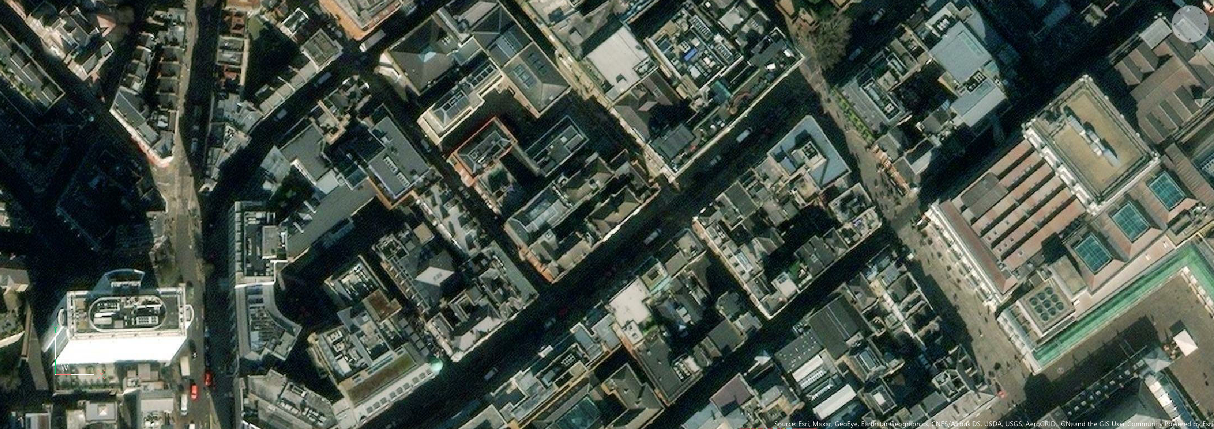
- Obrazy esri
- Mapa jest wyświetlana w stylu mapy Krajobraz.
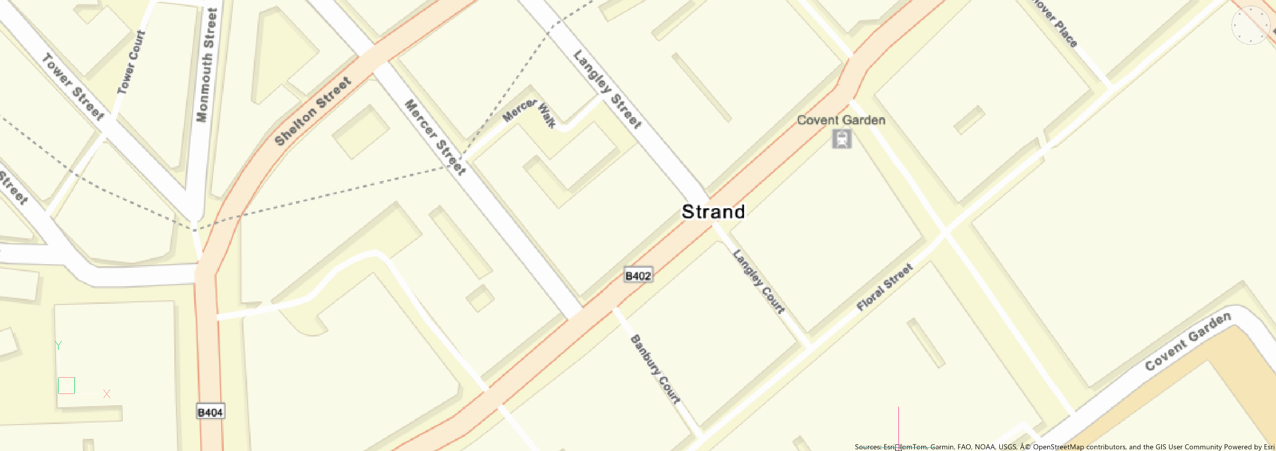
- Ulice ESRI
- Mapa jest wyświetlana w stylu mapy Ulice.
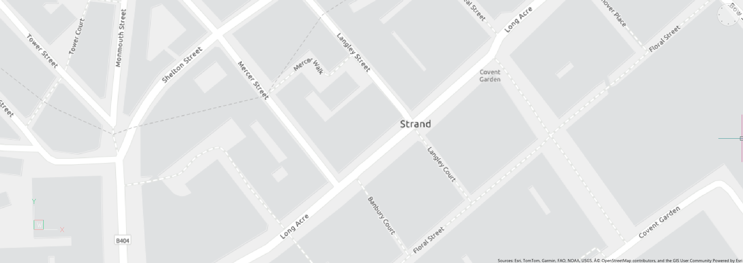
- ESRI jasny
- Mapa jest wyświetlana w stylu mapy Jasny.
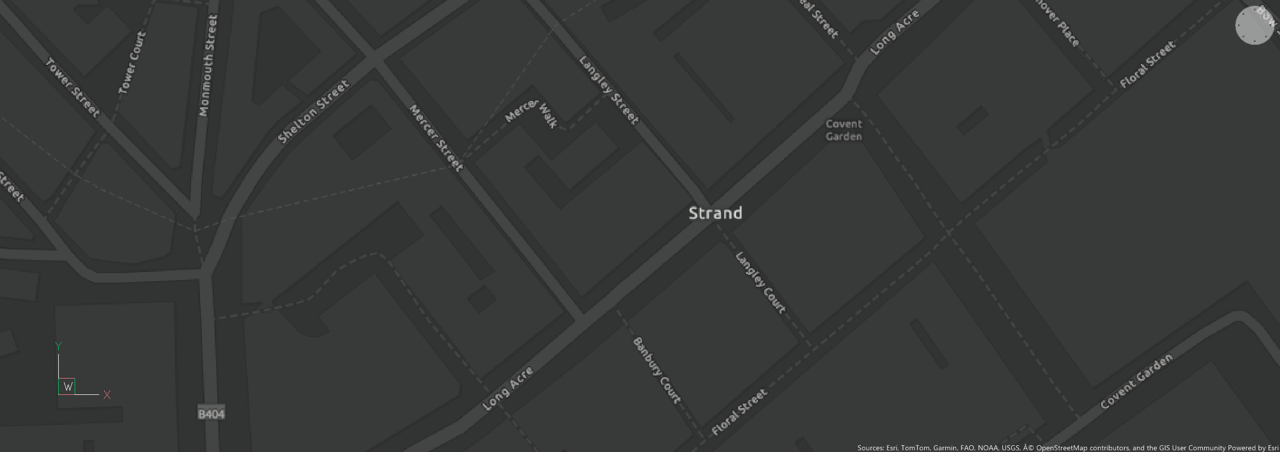
- ESRI ciemny
- Mapa jest wyświetlana w stylu mapy Ciemny.
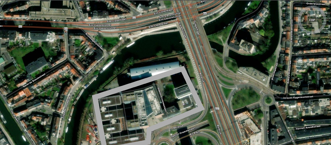
- esri Hybrid
- The map is displayed in the Hybrid map style, combining Imagery map style with labels.Uwaga: The source of the labels can be changed through the GEOMAPHYBRIDMODE system variable.
- WYł
- Ukrywa mapę geograficzną.