


GEOMAP command
Sets the visibility of online maps.

Description
Sets the visibility and the map style of online maps from the Microsoft Bing Service in the current viewport.
Note: Make sure the geographical location and coordinate system is set using the GEOGRAPHICLOCATION command.
Options within the command
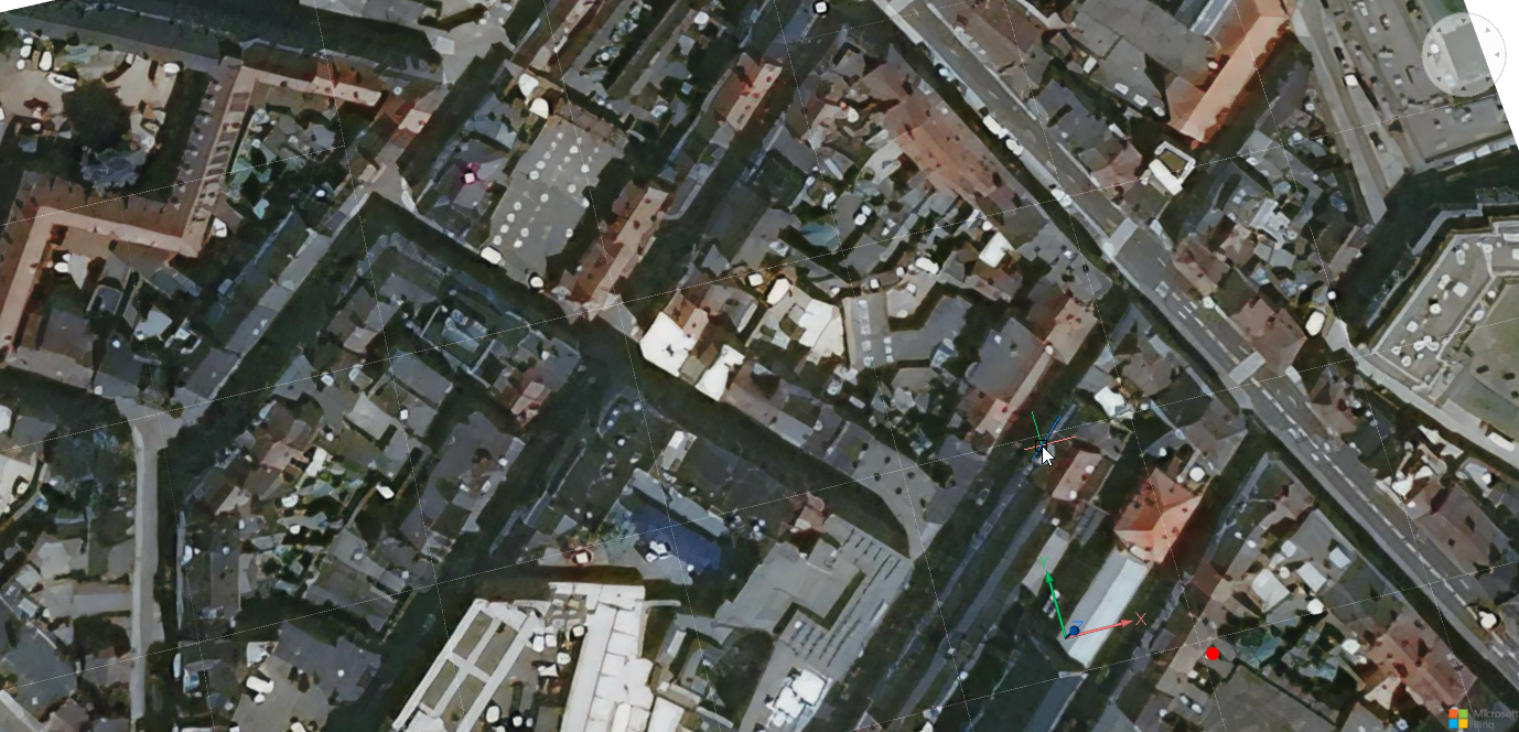
- Aerial
- The map is displayed in the Aerial map style.
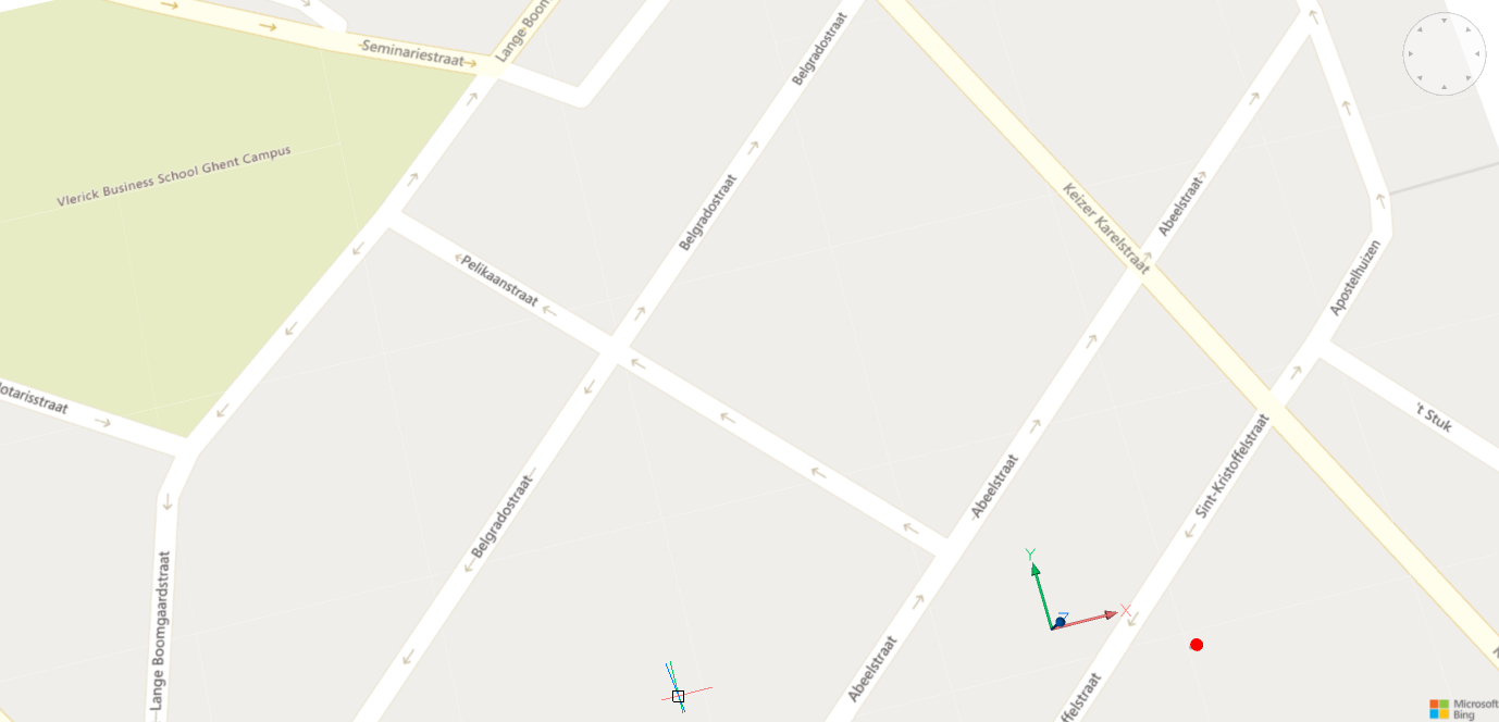
- Road
- The map is displayed in the Road map style.
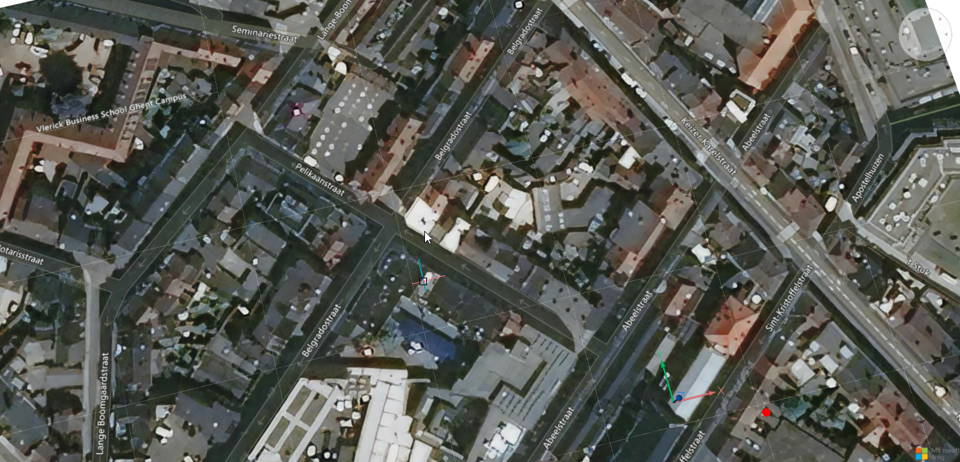
- Hybrid
- The map is displayed in the Hybrid map style, combining Aerial with Road map styles.
- Off
- Hides the geographical map.