GEOMAP command
Sets the visibility of online maps.

Description
Displays a map from an online map service within the current drawing.
Important:
-
- Bing Maps
- Bing Maps are deprecated and can no longer be used in BricsCAD. Bing Maps can be substituted with no API key required (see the GEOMAPKEY command article) as follows:
- bing Aerial is converted to esri Imagery.
- bing Road is converted to open street Map.
- bing Hybrid is converted to esri Hybrid.
-
- Esri Maps
- The esri Imagery, esri Streets, esri Light, esri Dark, and esri Hybrid maps are available only when an API key is assigned (see the GEOMAPKEY command article).
-
- OpenStreetMaps
- It does not require an API key and is free to use.
Note:
- Make sure the geographical location and coordinate system is set using the GEOGRAPHICLOCATION command.
- The copyright and watermark are added in the lower right corner of the drawing area. While the tiles are downloading, a downloading message is also displayed.
Options within the command
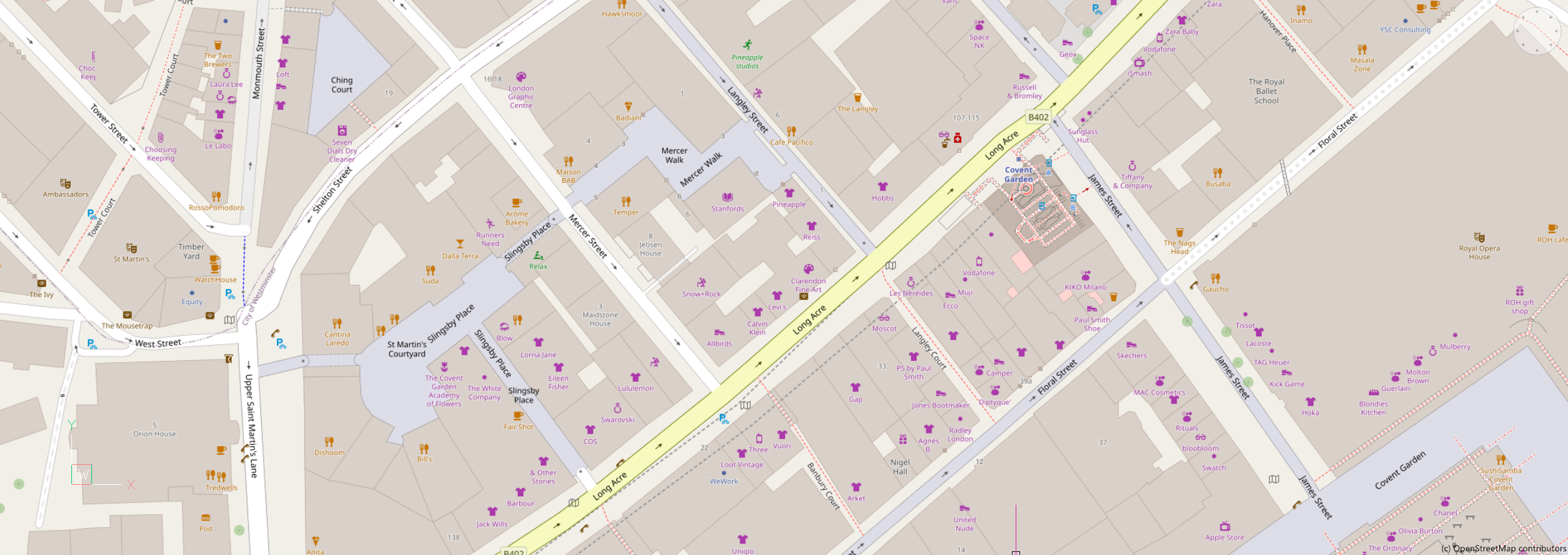
- open street Map
- The map is displayed in the open street Map map style.Note: The source of the map can be changed through the GEOMAPOSMMODE system variable.
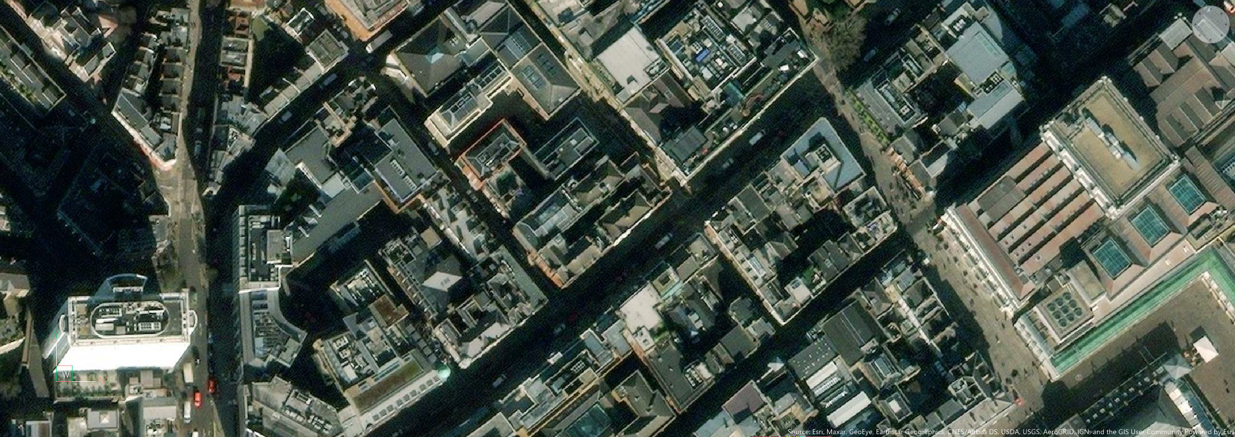
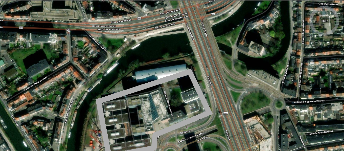
- esri Imagery
- The map is displayed in the Imagery map style.
- esri Streets
- The map is displayed in the Streets map style.
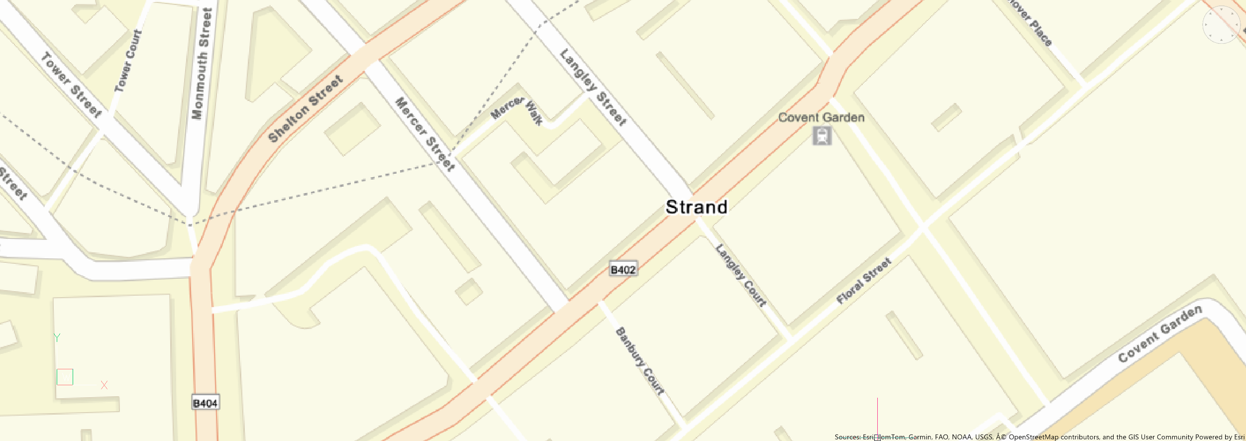
- esri Light
- The map is displayed in the Light map style.
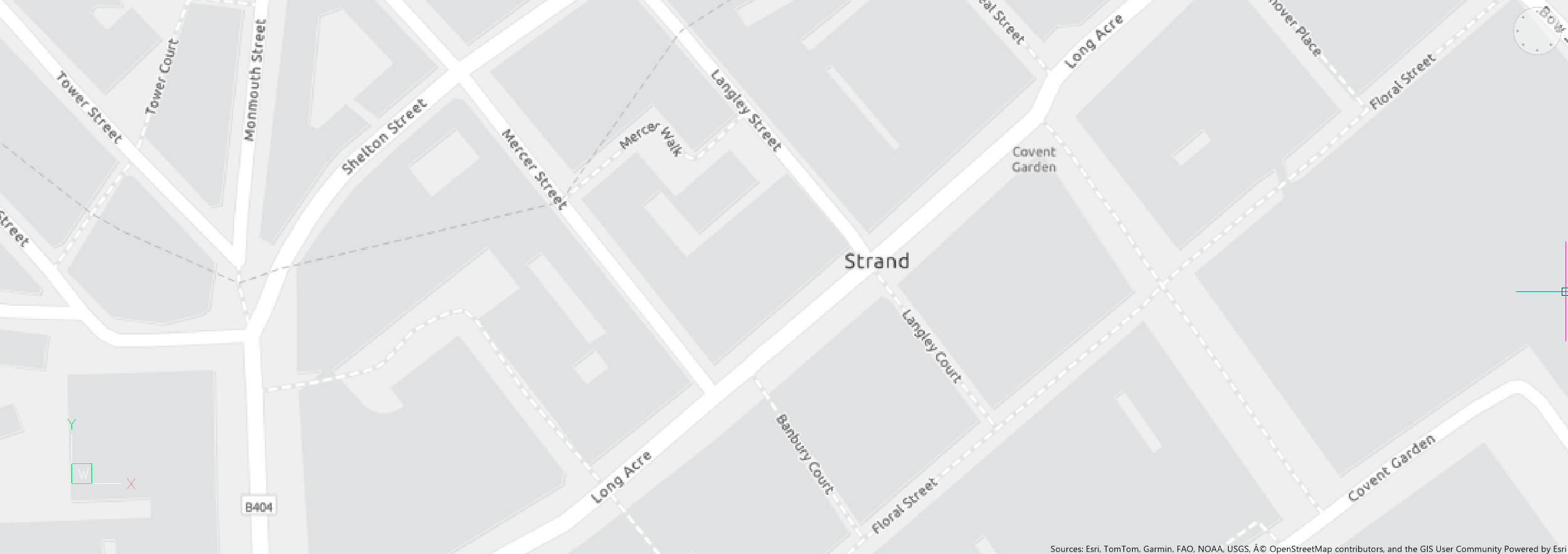
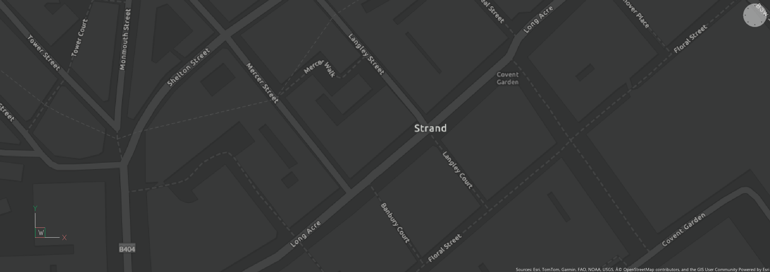
- esri Dark
- The map is displayed in the Dark map style.
- esri Hybrid
- The map is displayed in the Hybrid map style, combining Imagery map style with labels.Note: The source of the labels can be changed through the GEOMAPHYBRIDMODE system variable.
- Off
- Hides the geographical map.