GEOMAPIMAGE command
Creates an image capture of online maps.

Description
Creates a rectangle image capture of the online map and embeds it in the drawing.
Note: For bing Aerial maps, the image capture is esri Imagery, and for bing Road maps is open street Map.
Tip: You can use the GEOMAPIMAGETYPE, GEOMAPIMAGERESOLUTION and GEOMAPIMAGEUPDATE commands to further manage the map image.
Method
Select on the map the area you want to capture or select the Viewport option. An embedded image of the online maps is then created, and a frame is displayed on the map indicating the created image capture.
Note: Before creating a map image capture, you first have to run the GEOGRAPHICLOCATION command to define and store a geographic location for the current drawing and run the GEOMAP command to set an online maps style.
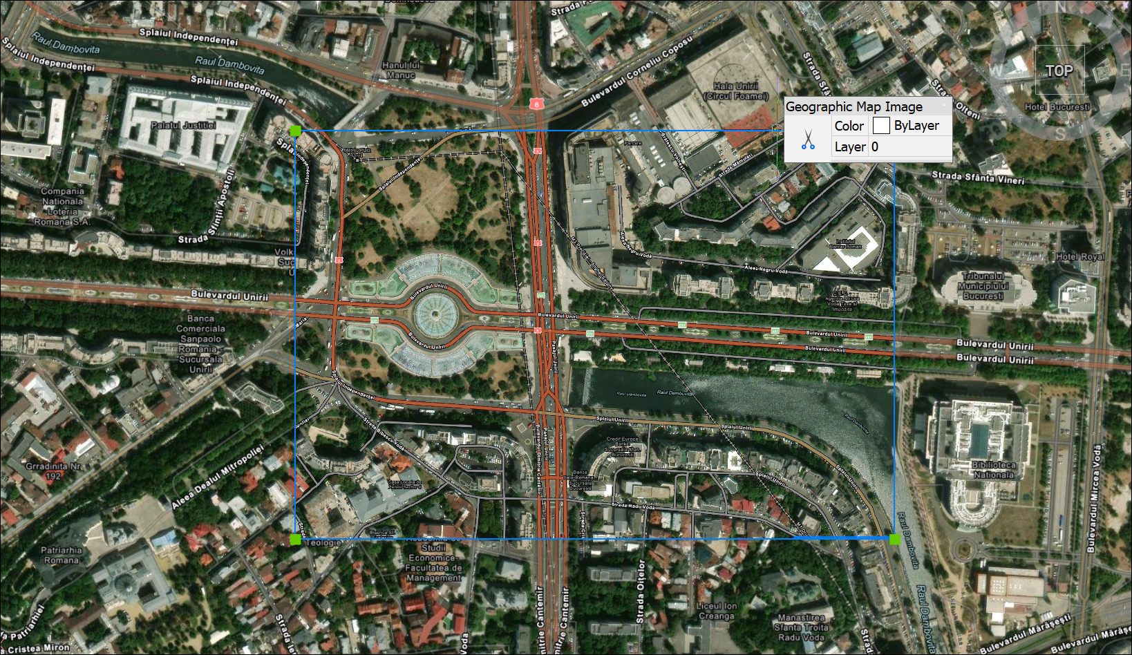
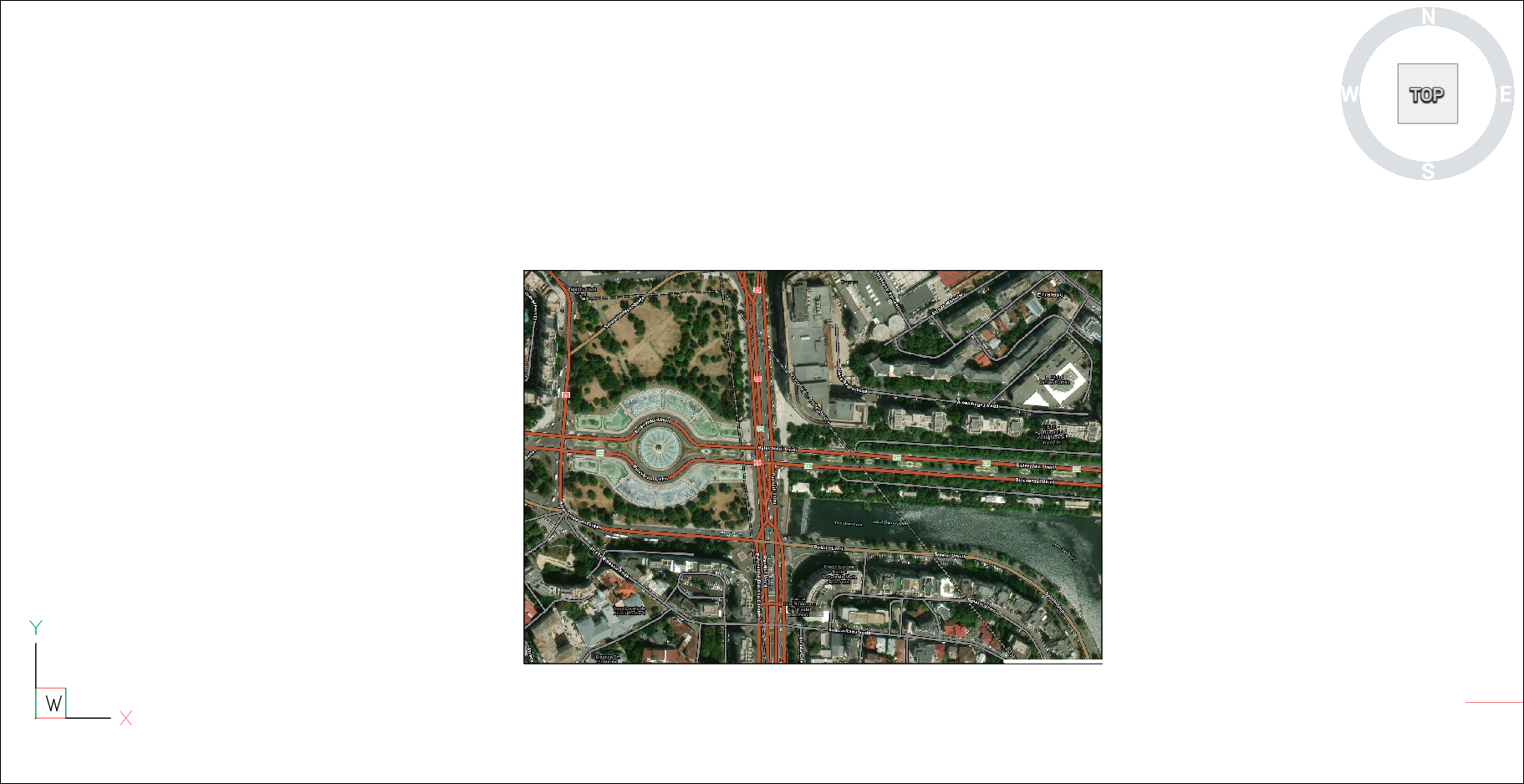
The size and/or the position of the map image frame can then be adjusted and the map image is updated accordingly.
Note: To keep only the map image capture visible, run the GEOMAP command again and select the Off option.
Note: The copyright and watermark are added in the bottom right corner of the map image.
Options within the command
- Viewport
- Sets the current viewport as frame for the capture image of online maps.